Microsoft Announces the Planetary Computer
- 2 February 2022
- Posted by: Peter Tran
- Categories: Competitive research, Consulting, Microsoft, Planetary Computer

Critical questions about the environment that scientists, conservation organisations and businesses typically need to know, are being asked every day, often with no easy way to obtain a locally relevant answer.
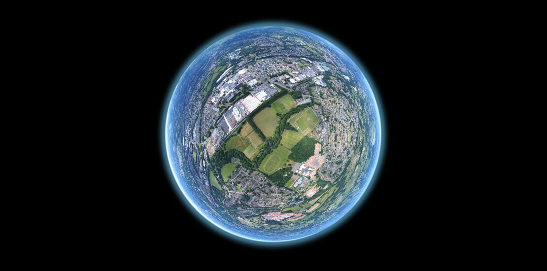
In a bid to save the world, Microsoft has committed support for a new kind of computing platform – a Planetary Computer, a platform that would provide access to trillions of data points collected by people and by machines in space, in the sky, in and on the ground and in the water. One that would allow users to search by geographic location instead of keyword. Where users could seamlessly go from asking a question about what environments are in their area of interest, to asking where a particular environment exists around the world. A platform that would allow users to provide new kinds of answers to new kinds of questions by providing access to state-of-the-art machine learning tools and the ability to publish new results and predictions as services available to the global community.
Check out the video here:
Examples of the types of questions that could be asked are:
- Understanding tree density, land use and size of forests has implications for biodiversity conservation and climate change mitigation. Organisations often conduct expensive on-the-ground surveys or build customised solutions to understand local forests. The Planetary Computer will provide satellite imagery, state-of-the-art machine learning tools, and user-contributed data about forest boundaries from which forest managers will have an integrated view of forest health.
- Urban planners and farmers depend on forecasts of water availability and flood risks to make educated guesses about land management. The Planetary Computer will provide satellite data, local measurements of streams and groundwater, and predictive algorithms that will empower land planners and farmers to make data-driven decisions about water resources.
- Wildlife conservation organizations depend on their own local surveys, global views of wildlife populations, and suitable habitats for wildlife. The Planetary Computer will combine information about terrain types and ecosystems with the best available data about where species live, enabling a global community of wildlife biologists to benefit from each other’s data.
- Combating climate changes requires organizations to measure and manage natural resources that sequester carbon, like trees, grasslands, and soil. The Planetary Computer will combine satellite imagery with AI to provide up-to-date information about ecosystems and provide a platform for leveraging predictive models to estimate global carbon stocks and inform decisions about land use that impact our ability to address climate change.
how can we help you?
Contact us at the Cloudstreet Consulting office in Parap, NT or submit a business inquiry online.
